The designations employed and the presentation of material on this map do not imply the expression of any opinion whatsoever on the part of the Secretariat of the United Nations concerning the legal status of any country, territory, city or area or of its authorities, or concerning the delimitation of its frontiers or boundaries. Final boundary between the Republic of Sudan and the Republic of South Sudan has not yet been determined. Dotted line represents approximately the Line of Control in Jammu and Kashmir agreed upon by India and Pakistan. The final status of Jammu and Kashmir has not yet been agreed upon by the parties. A dispute exists between the Governments of Argentina and the United Kingdom of Great Britain and Northern Ireland concerning sovereignty over the Falkland Islands (Malvinas).
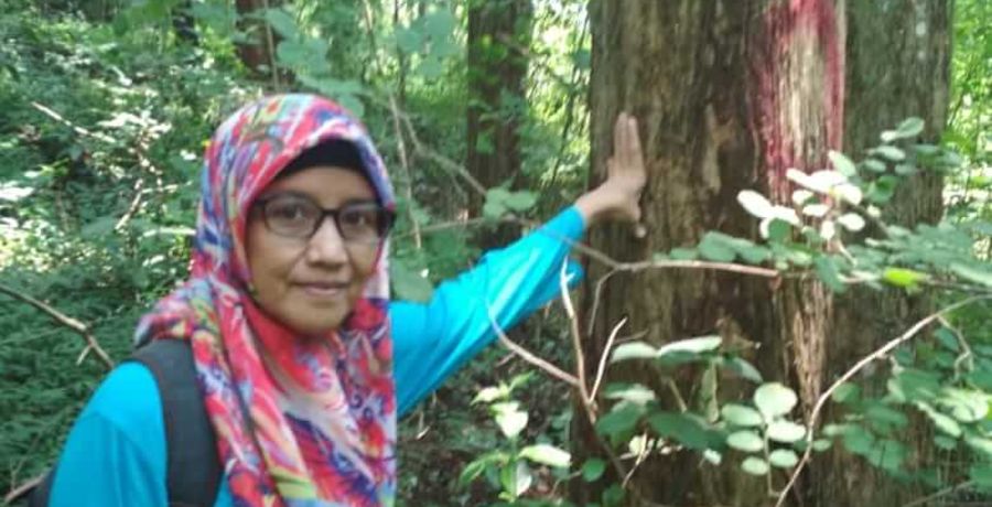
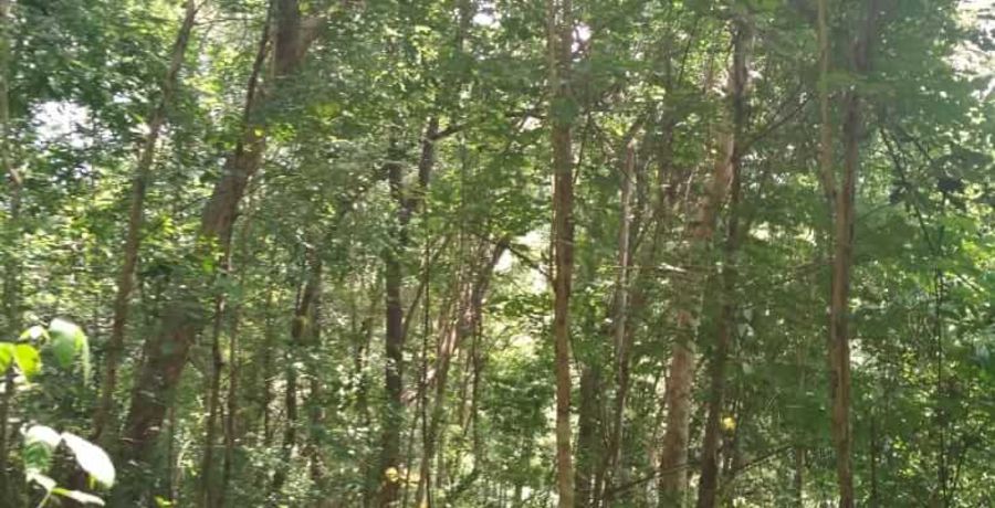
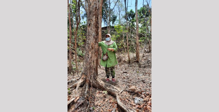
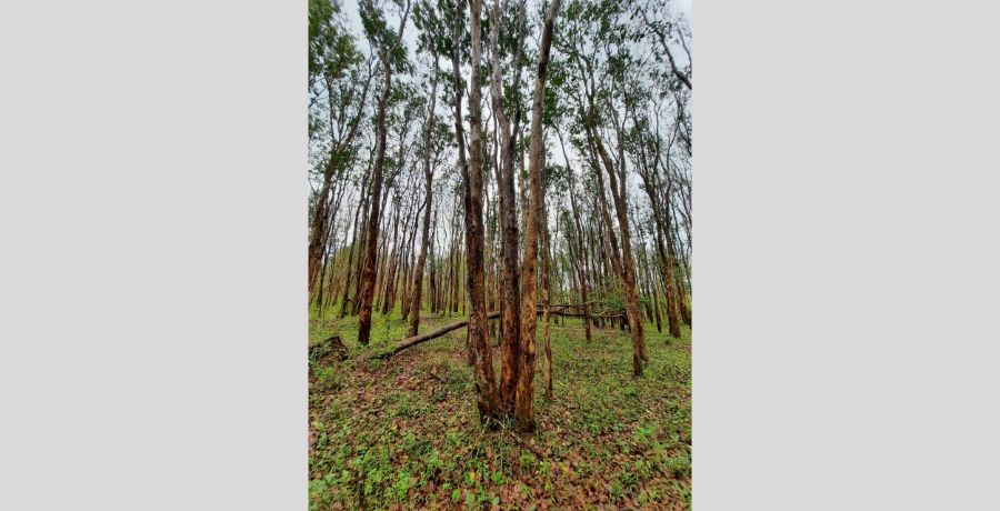
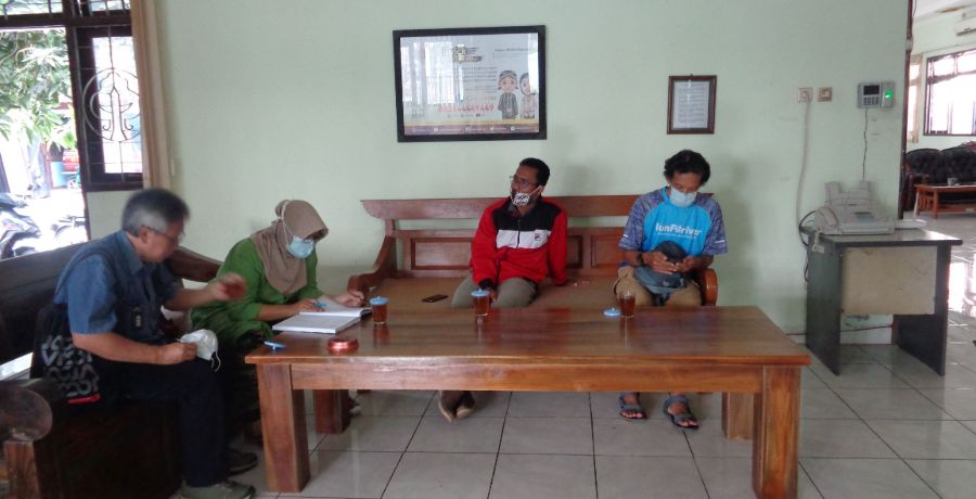
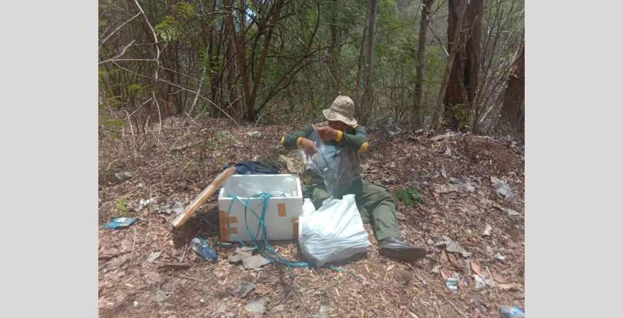
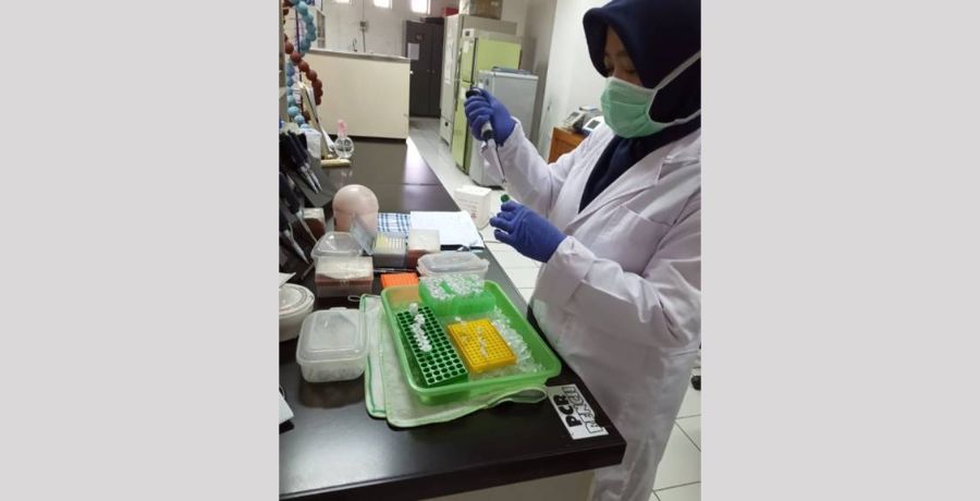
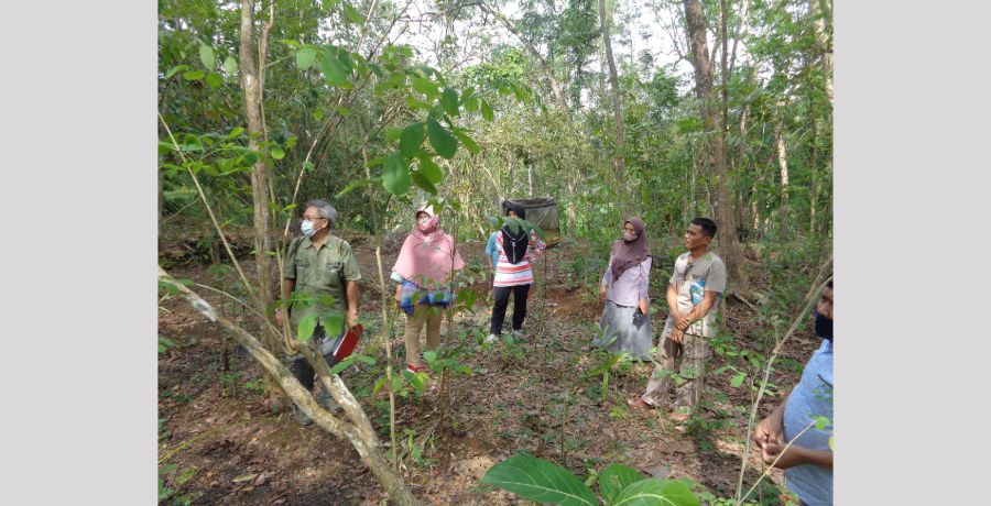
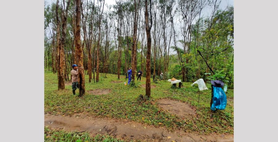
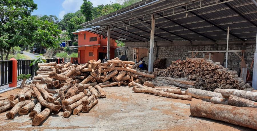
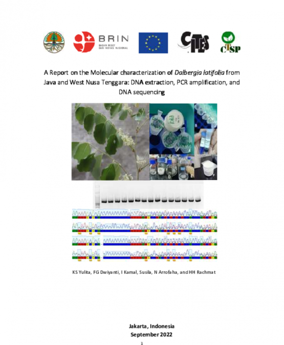
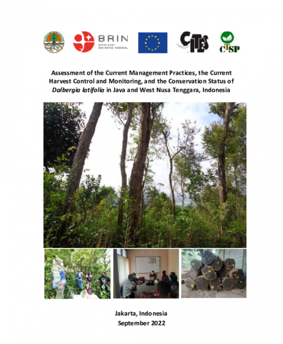
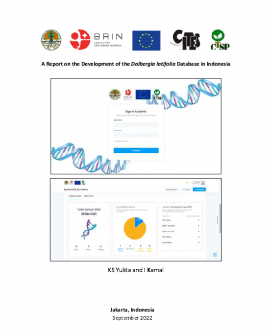
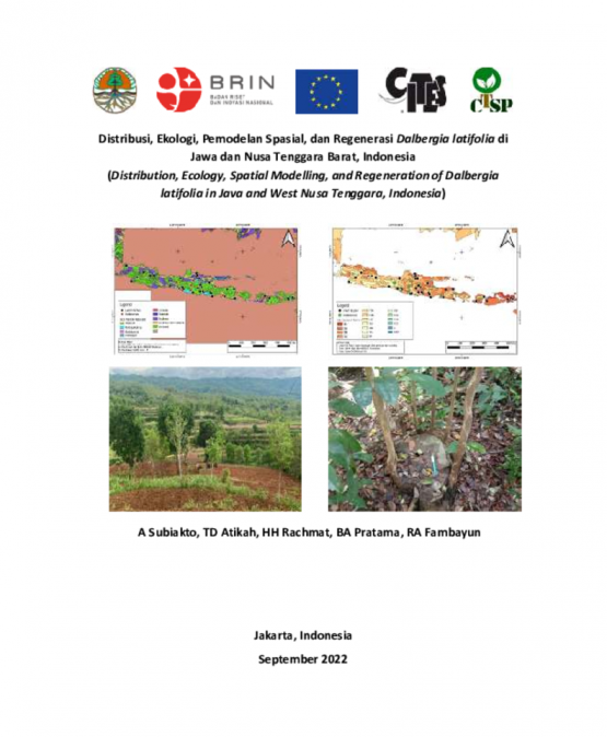
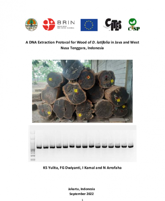
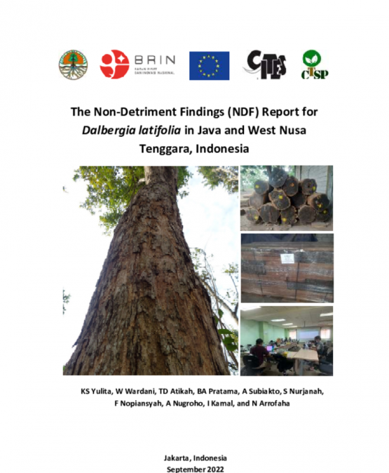
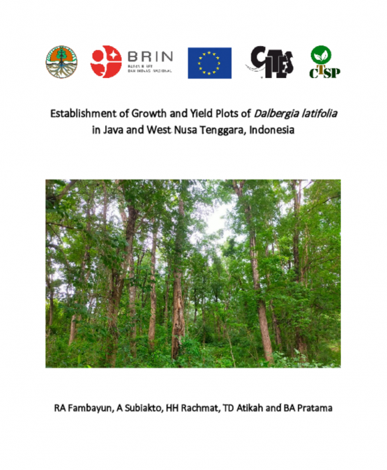
The objective of the project is to provide information and determine a Non-Detriment Finding of Dalbergia latifolia in Java and West Nusa Tenggara as well as provide baseline information on DNA fingerprints of Dalbergia latifolia from Indonesia. The expected impact of the project is to assure the sustained-yield management of D. latifolia and fair trade in the global market as well as to combat its illegal trading. The main activities, among others, are ground survey, plot establishment in targeted sites, field data collection in each of the targeted sites, and laboratory works.
Project Type :
Identification
Taxonomy :
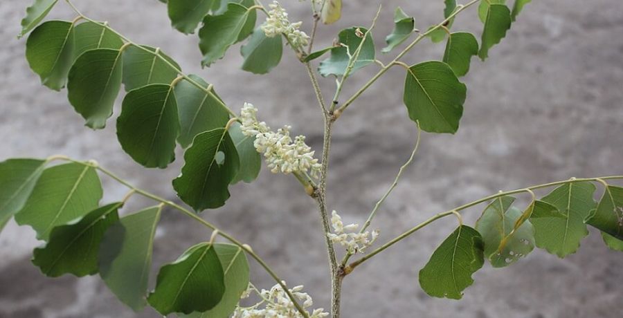
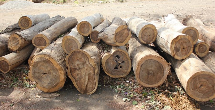
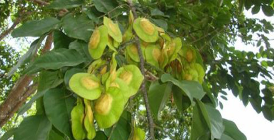
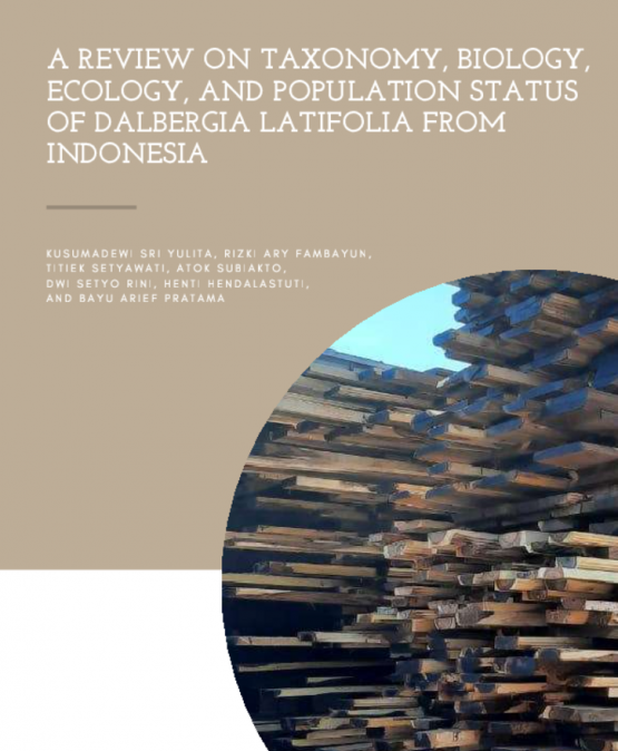
Dalbergia spp.
Project Title :
A Non-detriment Findings Report and a DNA Database for Dalbergia latifolia in Java and West Nusa Tenggara, Indonesia
Duration :
24 months
Project Document :
Implementing partner :
Directorate of Biodiversity Conservation, Directorate General of Natural Resources and Ecosystem Conservation, Ministry of Environment and Forestry, Manggala Wanabakti Bld Block VII, JI. Gatot Subroto, Senayan, Jakarta 10270, Indonesia
Outputs
Project Videos :
CITES Working Language :
English
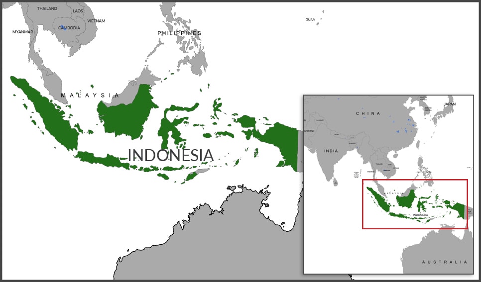
KEY STATISTICS
HUMAN POPULATION
264 million
LAND AREA* (km2)
1,811,570
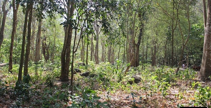
FOREST COVER (km2)
903,256
FOREST COVER (%)
49.9
*Source: www.fao.org/faostat/en/#data//RL (Land Area in Year 2016)
GALLERY