Cote D'Ivoire

The objective of this project is to strengthen the implementation of the CITES provisions for Pericopsis elata and Pterocarpus erinaceus in Côte d'Ivoire. The implementation of this project will provide a management plan for both species. Inventories of forest stands of these species will be conducted as part of this project and the results will be used as a decision support tool. The project also provides for the involvement of all stakeholders in its implementation for sustainable management of these two species.

X

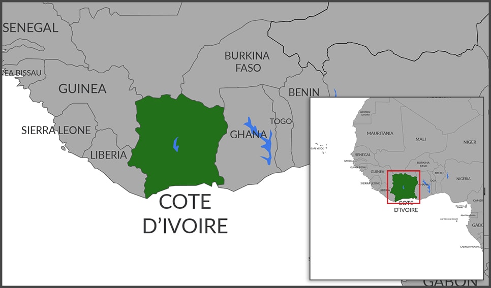
The designations employed and the presentation of material on this map do not imply the expression of any opinion whatsoever on the part of the Secretariat of the United Nations concerning the legal status of any country, territory, city or area or of its authorities, or concerning the delimitation of its frontiers or boundaries. Final boundary between the Republic of Sudan and the Republic of South Sudan has not yet been determined. Dotted line represents approximately the Line of Control in Jammu and Kashmir agreed upon by India and Pakistan. The final status of Jammu and Kashmir has not yet been agreed upon by the parties. A dispute exists between the Governments of Argentina and the United Kingdom of Great Britain and Northern Ireland concerning sovereignty over the Falkland Islands (Malvinas).

Project Type : Capacity Building and Governance
Taxonomy : Pericopsis elata, Pterocarpus erinaceus
Project Title :

Project to save Pericopsis elata (Assamela) and Pterocarpus erinaceus (Ivory wood) in Côte d'Ivoire

Duration :

24 months

Project Document :

Link

Implementing partner :

Le Ministere des Eaux et Forêts, BP V 178 Abidjan, Republique de Cote d'Ivoire.

CITES Working Language :

French

KEY STATISTICS

HUMAN POPULATION

24.9 million

LAND AREA* (km2)

318,003

FOREST COVER (km2)

104,006

FOREST COVER (%)

32.7


*https://en.wikipedia.org/wiki/List_of_countries_and_dependencies_by_area

GALLERY