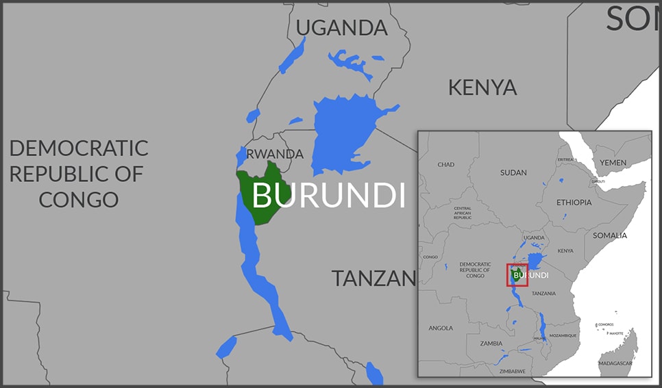
The designations employed and the presentation of material on this map do not imply the expression of any opinion whatsoever on the part of the Secretariat of the United Nations concerning the legal status of any country, territory, city or area or of its authorities, or concerning the delimitation of its frontiers or boundaries. Final boundary between the Republic of Sudan and the Republic of South Sudan has not yet been determined. Dotted line represents approximately the Line of Control in Jammu and Kashmir agreed upon by India and Pakistan. The final status of Jammu and Kashmir has not yet been agreed upon by the parties. A dispute exists between the Governments of Argentina and the United Kingdom of Great Britain and Northern Ireland concerning sovereignty over the Falkland Islands (Malvinas).
This project aims to fill the information gaps on Prunus africana, with a view to producing the scientific basis for the development of a non-detriment finding (NDF) of this species for the CITES Scientific Authority (SA). Flora of the Republic of Burundi. The project reflects a response to the 2007 CITES questions on the management of Prunus africana in Burundi. The NDF report will be refined over time based on inventory data and the socio-economic survey.
Project Type :
Non Detriment Findings (NDF)
Taxonomy :
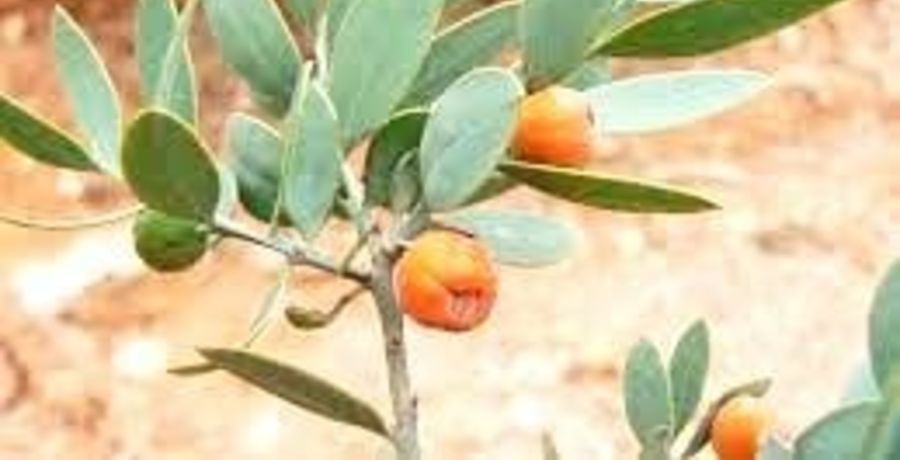
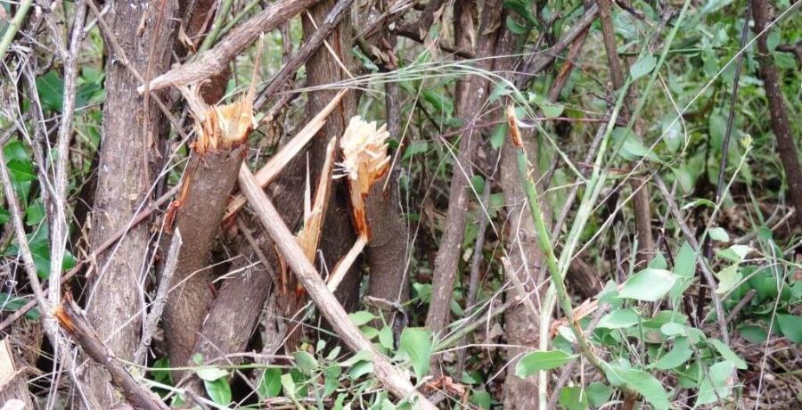
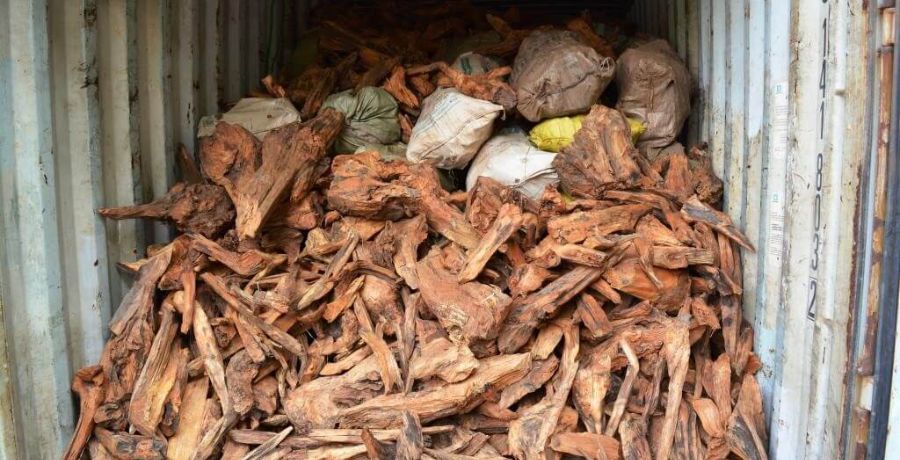
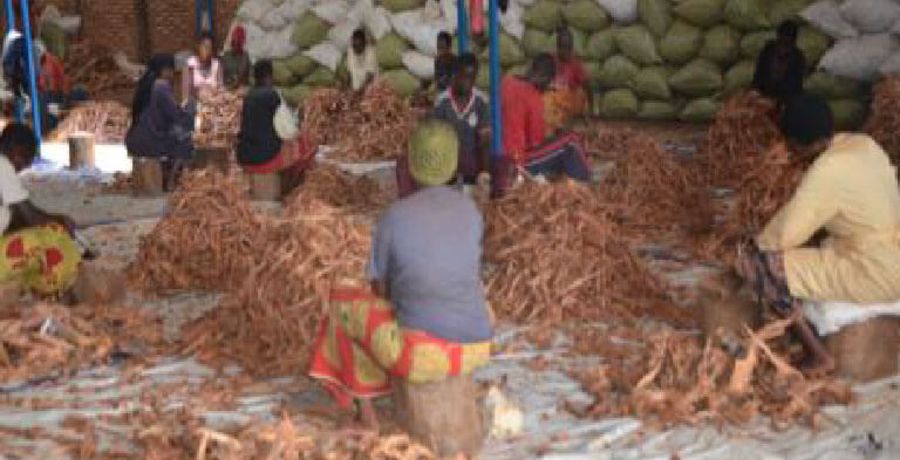
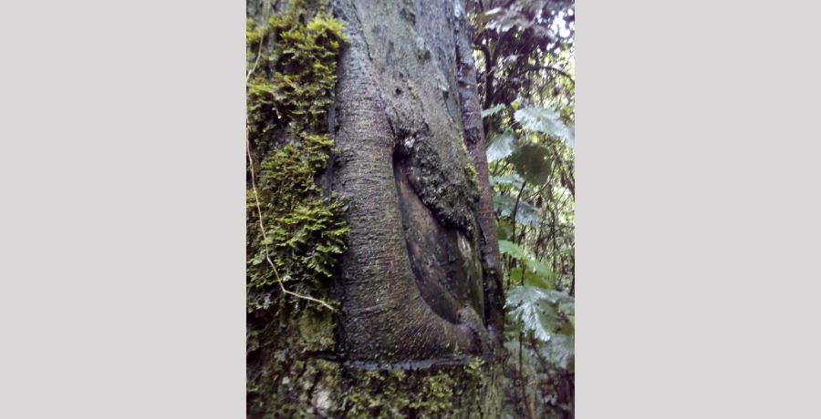
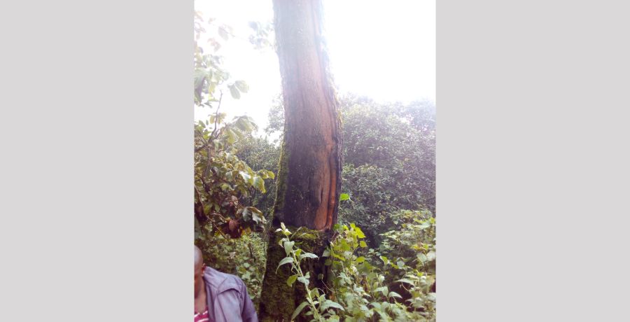
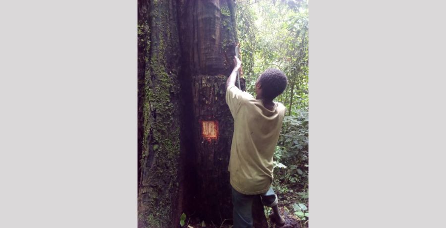
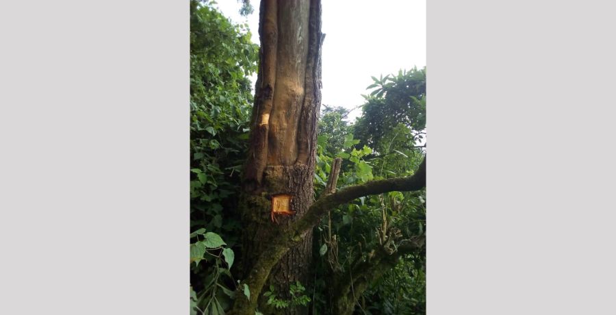
Prunus africana
Project Title :
Capacity building of stakeholders for sustainable management of Prunus africana
Duration :
18 months
Project Document :
Implementing partner :
Office Burundais pour la Protection de l'Environnement, BP 56 Gitega, Burundi
Outputs
CITES Working Language :
French
KEY STATISTICS
HUMAN POPULATION
11.2 million
LAND AREA* (km2)
25,680
FOREST COVER (km2)
2,806
FOREST COVER (%)
10.9
*https://en.wikipedia.org/wiki/List_of_countries_and_dependencies_by_area
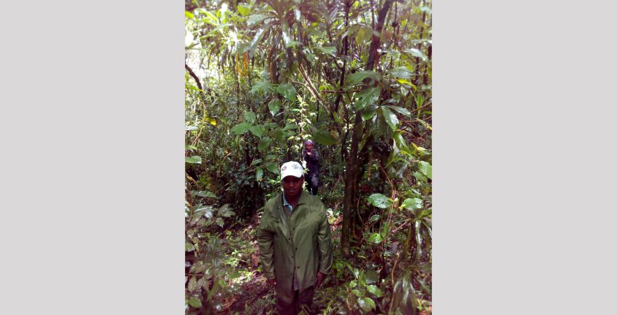
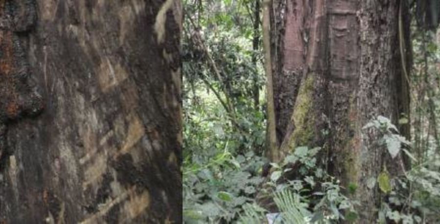
GALLERY